Click for Larger Image
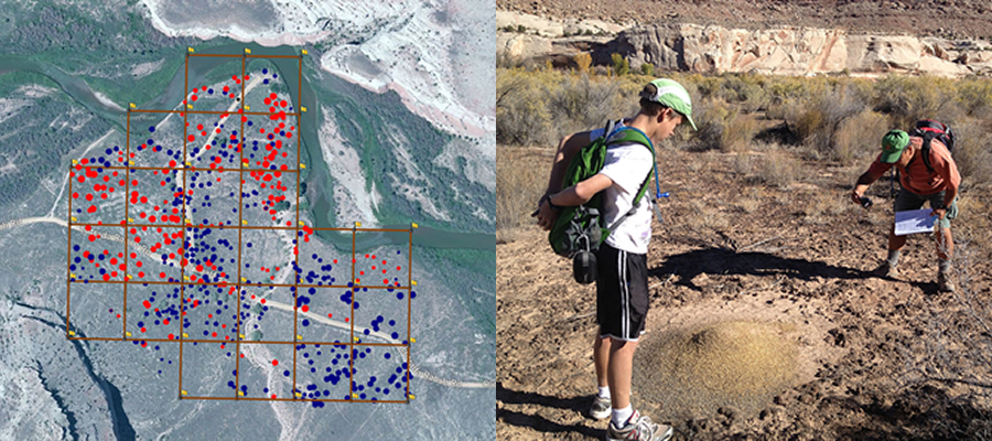
I spent the fall break in the southeastern deserts of Utah, near Moab, collecting data and mapping ants. This is a project that I have been working on for a couple of years. It is a workshop offered to teachers that take a community mapping class where we work with an entomologist on a research project with the University of Utah. This is project based learning at it's best. Our partner, the UofU, has an authentic need, a project to study seed gathering ants. Our students, teachers, learn how to use a GPS and GIS (geographic information system) to create habitat maps describing the ant nest's cone height, entrance direction, and bare ground diameter.
Similar projects can be done with your students too, such as mapping safe walking routes to school, or a historical tour of your town. Maybe the fire department needs their fire hydrants mapped, with the PSI and GPM indicated. The key is to find an authentic project and let the learners drive the learning.
For more information:
http://www.uen.org/cmap
http://gmapk12.wikispaces.com
For more pictures:
https://www.dropbox.com/sh/vawh8ikvjupypdo/vMuhWR5ANo
Posted by Robert Gordon

