GPS, GIS and Community Mapping
What does GPS stand for?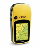
GPS stands for Global Positioning System. GPS refers to a group of US Department of Defense satellites constantly circling the earth. These satellites transmit very low power radio signals and anyone with a GPS receiver can access these satellites and locate their own position on the earth.
How does GPS work?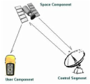
GPS receivers pick up information from government satellites in space to determine exact distance and location of each satellite from earth to pinpoint the exact location of the person with the GPS receiver. The receiver calculates a position and then allows itself to be used as a navigation device.
Who Uses GPS?Anyone can use GPS. It has practical application for hunters, campers, teachers, scientists, or anyone who wants to know their immediate location on the earth, or the location of something else. GPS can be used everywhere, except inside buildings where the satellite signals are hard to pick up.
Why use GPS in the classroom?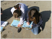
GPS technology is very useful in the classroom. Students can use GPS receivers for mapping activities, academic scavenger hunts, problem solving, cooperative learning activities and the list could go on and on. GPS technology is a great way to supplement any learning environment.
What is Geocaching?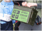
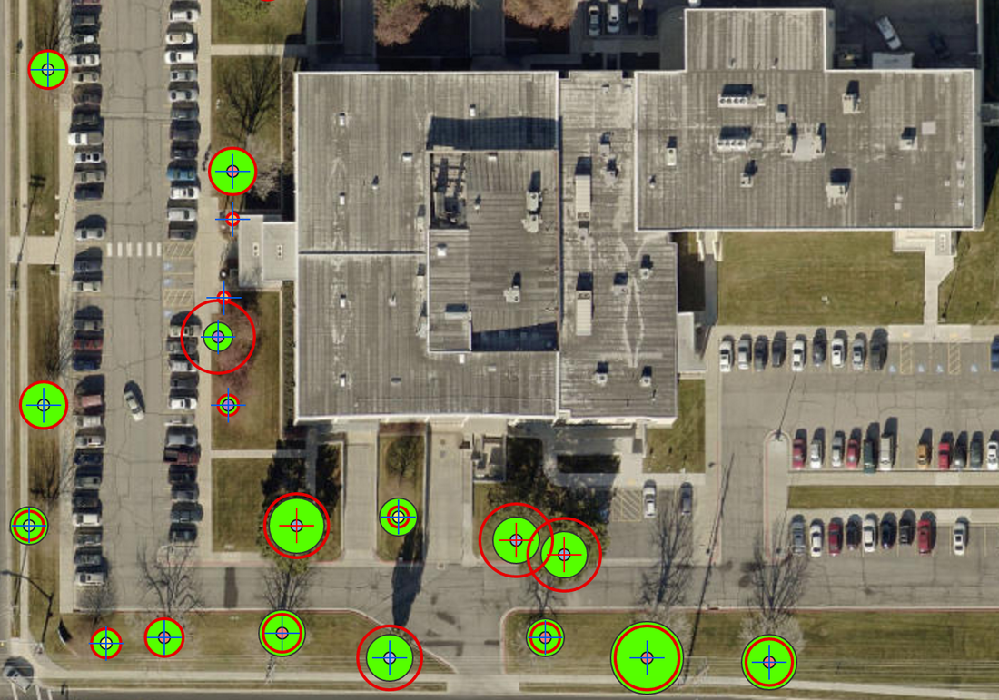
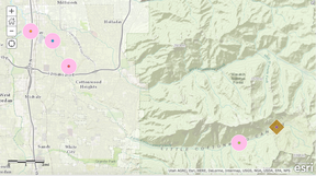
Geocaching is an adventure game for GPS users. Participating in a cache hunt is a good way to take advantage of the amazing features of a GPS receiver. Organizations and individuals set-up caches all over the world, post the locations on the internet and geocachers locate coordinates and hunt down caches. Once found, a cache can provide the visitor with a variety of rewards. All the visitor is asked to do is if they take something away from the cache, they leave something in return.
|
Links:
Geocaching: www.geocaching.com
Geocaching for kids: http://www.eduscapes.com/geocaching/kids.htm GPS Lesson Plans: http://sciencespot.net/Pages/classgpslsn.html Garmin Website – Purchase a GPS receiver online: www.garmin.com UEN’s GIS/GPS Academy: http://www.uen.org/cmap/ GPS for Students: http://www.gps.gov/students/ Understanding your GPS: http://www.juicygeography.co.uk/gpsschool.htm GIS/GPS, Maps and Mapping, Remote Sensing: http://www.thesnugg.com/geography-resources-for-mapping.aspx |
What is GIS?"A geographic information system (GIS) integrates hardware, software, and data for capturing, managing, analyzing, and displaying all forms of geographically referenced information.
GIS allows us to view, understand, question, interpret, and visualize data in many ways that reveal relationships, patterns, and trends in the form of maps, globes, reports, and charts. A GIS helps you answer questions and solve problems by looking at your data in a way that is quickly understood and easily shared. GIS technology can be integrated into any enterprise information system framework." www.esri.com To learn more about GIS, attend the CSD Ed Tech Endorsement Class or the Community Mapping Class sponsored by UGA/UEN
|
Links:ESRI:
http://www.esri.com ESRI Education Community http://edcommunity.esri.com/ Utah Geographic Alliance (UGA) http://www.utahgeo.org |
What is Community Mapping
|
Canyons School District offers a Technology Endorsement that includes a class on using GPS, GIS and Community Mapping in the classroom. This summer, the class will take place June 12-16, 2017. Using Community Mapping to Engage Students in Exploring Real-World Issues and Solving Authentic Problems is a five-day workshop where educators learn how to design community-based mapping projects (CMaP) to engage students. The course will help teacher use mapping to align with core standards and work within existing curricula. Participants learn the fundamentals of project-based learning within the CMaP framework and how to enhance projects with educational technology while experiencing firsthand how effective project-based learning can be incorporated in their classrooms.
Course Objectives:
|
Links:
Esri Story Maps: http://storymaps.esri.com/ ArcGIS Resources http://resources.arcgis.com/ Maps for Education: http://education.maps.arcgis.com/ Mapping: http://www.arcgis.com/home/ |